
 Image 1 of 1
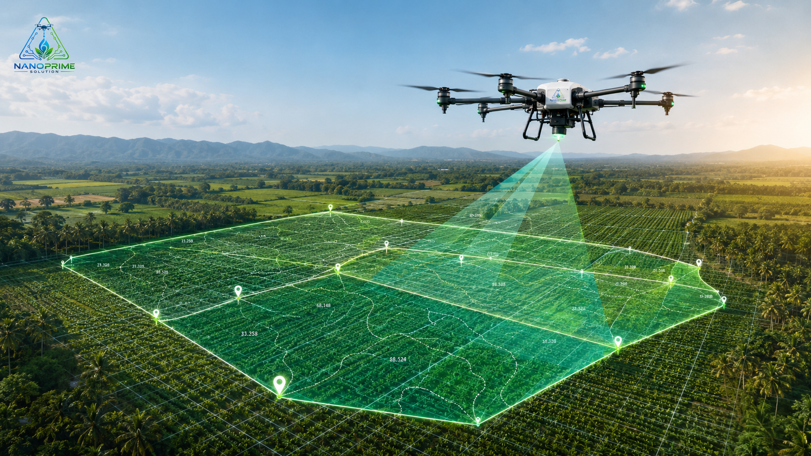
Our planned drone mapping service is designed to provide farmers, plantation owners, and agronomists with a clearer aerial view of their land. High-resolution drone mapping can help identify field boundaries, crop distribution, planting gaps, drainage issues, uneven growth areas, and general field conditions.
Drone mapping supports better farm planning, crop monitoring, nursery layout planning, plantation assessment, and before-and-after treatment comparison. For more advanced projects, mapping can also support multispectral or NDVI-style crop analysis, depending on equipment availability and project scope.
This service is suitable for farms, nurseries, plantations, development areas, and large agricultural blocks that require accurate visual records and better field management.
Best For: Field mapping, plantation assessment, crop monitoring, boundary overview, drainage planning, and farm development records.
Service Status: Available Upon Request
Our planned drone mapping service is designed to provide farmers, plantation owners, and agronomists with a clearer aerial view of their land. High-resolution drone mapping can help identify field boundaries, crop distribution, planting gaps, drainage issues, uneven growth areas, and general field conditions.
Drone mapping supports better farm planning, crop monitoring, nursery layout planning, plantation assessment, and before-and-after treatment comparison. For more advanced projects, mapping can also support multispectral or NDVI-style crop analysis, depending on equipment availability and project scope.
This service is suitable for farms, nurseries, plantations, development areas, and large agricultural blocks that require accurate visual records and better field management.
Best For: Field mapping, plantation assessment, crop monitoring, boundary overview, drainage planning, and farm development records.
Service Status: Available Upon Request